
While most folks were expecting chillier spring breezes, Phoenix is sweating through a historic heatwave that just won’t quit.
As of March 26, 2026, temperatures are surging across the nation, creating a bizarre split in America’s weather. Phoenix, Arizona is the epicenter of this dry heat, with forecasts predicting a blistering 101 degrees on Wednesday. That number would smash the previous record of 99°F set just recently. It’s not just a random spike; meteorologists call it an “unusually prolonged event.”
The Desert Heat Spike
The situation down in the Southwest feels more like July than late March. Michael Groff, who monitors these patterns closely, noted in his weather discussion that while Tuesday and Wednesday might have been slightly cooler than Monday, the record-breaking conditions persisted.
An Extreme Heat WarningArizona was in effect through 8pm on March 22. Groff highlighted that despite brief respites, the heat remained stubbornly locked in place. There is some hope on the horizon though. Model guidance suggests a big trough moving in by Tuesday, March 31, potentially bringing a necessary cooldown to the Valley of the Sun.
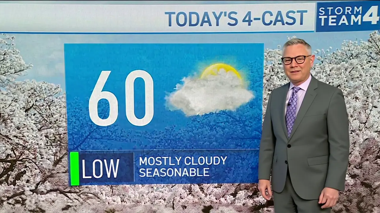
Eastern United States Basking in Early Spring
But wait, the weirdness isn’t limited to the desert. Turns out, the Eastern U.S. is dealing with its own version of thermal chaos. According to updates from Mohsin Insights, cities like New York, Chicago, Atlanta, and Dallas saw temperatures soaring into the 70s and 80s.
That’s not just warm; it’s deeply abnormal. We’re talking about temperatures 15 to 25 degrees higher than the climatological average for late March. While New Yorkers were basking in what feels like May weather, the West Coast was getting drenched. San Francisco and Seattle faced cool, cloudy days, even seeing late-season snow in some spots. It creates a stark visual contrast: one half of the country baking, the other shivering.
Collision Course for Severe Storms
This dramatic clash of warm and cold air masses is setting the stage for potential severe weather. The boundary between the warm eastern air and the cool western moisture isn’t settling peacefully. Thunderstorms were likely to pop up along the line where these two air masses collided, according to the March 26 USA Weather Update.
The areas most at risk stretch from the central plains through the Midwest and into the Ohio Valley. Some storms could bring strong winds, heavy rain, and possibly even hail. It’s a volatile mix. Cities like Louisville, Cincinnati, Columbus, Pittsburgh, and Philadelphia faced a slight risk level two out of five for severe storms. For locals, that means staying off highways during peak hours if possible. Safety comes first when the atmosphere turns unstable.
What’s Next for the Forecast
So, when does the madness end? Meteorists suggest relief is coming, but timing is tricky. Groff’s analysis indicates a pattern change looking more likely toward the following weekend and into the week after. By March 31st, the anticipated trough should move through, disrupting the current high-pressure ridge holding the heat in.
Precipitation outlooks for Phoenix remain cautious. Rain amounts probably won’t be significant statewide, though scattered showers are possible across east central and southeast Arizona. To achieve above-average precipitation values for April wouldn’t actually require much rain, given how dry things have gotten already. The Weather Prediction Center validates these probabilities through their standard models.
Living Through the Weather Swings
Beyond the thermometers, rapid weather swings create real challenges. Gardeners planning their spring planting now face confusion—plant too early and frost damage becomes a risk; wait too long and you miss the window. Allergy sufferers are also waking up earlier than usual because pollen counts respond to warmth.
Travelers should watch the skies. The forecast discussion emphasized staying informed about local forecasts because conditions shift fast in transition zones. It’s easy to get complacent when the sun is shining, but atmospheric stability is currently the outlier, not the norm. We’re waiting on that late-March shift to stabilize things before summer truly kicks in.
Frequently Asked Questions
When will the extreme heat end in Phoenix?
Forecasters are tracking a major weather trough moving in by Tuesday, March 31, 2026. This system is expected to disrupt the high-pressure pattern causing the heatwave, potentially bringing lower temperatures and scattered rain across the region during the first week of April.
Why are eastern cities so warm in late March?
A massive warm air mass has moved north, pushing temperatures 15 to 25 degrees above normal in places like New York and Atlanta. This anomaly is caused by a shift in jet stream patterns that allow subtropical air to penetrate further north than typical for the season.
Is there risk of severe weather in the Midwest?
Yes. The collision of warm eastern air and cool western air is creating instability. Areas from the Plains to the Ohio Valley face risks of strong winds, heavy rain, and hail. Residents near Louisville and Columbus should monitor alerts for potential storm development.
Will Phoenix see any rain during this period?
Rainfall is unlikely to be widespread. Most guidance points to dry conditions in the city itself, though scattered showers are possible in east central and southeast Arizona. Above-average precipitation totals are still achievable with minimal rainfall given how dry the baseline season remains.
Jason Davis
March 26, 2026 AT 18:13The jet stream is behaving erratically this season.
High-pressure ridges are blocking the cool air from moving south.
Meteorologists have been tracking this anomaly for weeks.
Data suggests the warm sector is expanding faster than expected.
Moisture levels remain critically low in the desert regions.
Evapotranspiration rates are spiking beyond seasonal norms.
Urban heat island effects compound the problem significantly.
Residents need to monitor humidity levels alongside dryness.
Power grids are likely under immense strain from cooling demand.
Grid operators typically manage load shedding during peaks.
Historical precedents show similar events occurred in previous decades.
Climate models predict increased frequency of such occurrences.
Local agriculture faces immediate risks without irrigation changes.
Gardeners should adjust planting schedules accordingly.
Long-term adaptation strategies are becoming essential.
Serena May
March 28, 2026 AT 04:20This intensity is absolutely unmanageable right now 🔥😫🛑
Christine Dick
March 30, 2026 AT 03:49It is, quite frankly, irresponsible to ignore these warnings!
We must, without exception, prepare our infrastructure accordingly!
There is absolutely no room for negligence!
Safety protocols must be strictly enforced!
Cheryl Jonah
March 30, 2026 AT 14:55People forget that the sensors are placed specifically to catch these spikes for a reason.
You know the narrative is shifting when they warn us weeks ahead.
It feels orchestrated somehow.
Bryan Kam
April 1, 2026 AT 03:14Sure hope your AC unit survives the grid surge.
James Otundo
April 2, 2026 AT 04:26I find it deeply unsettling how easily we dismiss the thermal dynamics involved here.
The sheer magnitude of energy transfer is almost poetic in its destruction.
We should feel the weight of this atmospheric violence.
ryan pereyra
April 3, 2026 AT 14:35Baroclinicity is increasing along the frontal boundary near Ohio Valley.
The vorticity signature indicates rapid intensification potential.
Cyclogenesis could be imminent.
Jullien Marie Plantinos
April 4, 2026 AT 14:15America handles these extremes better than any other nation!
Our systems are robust despite what you hear!
We will power through this heat wave!
Sarah Day
April 4, 2026 AT 21:47Honestly just keep hydrated and stay inside during peak hours.
Neighbors helping neighbors is what matters most right now.
Cheri Gray
April 5, 2026 AT 05:03im from arizona and this feels differnt then normal spring.
the cactus are blooming way to early which means wild life has to adjust.
my family says bring water everywhere you go.
Jane Roams Free
April 5, 2026 AT 12:56Checking in on everyone affected by these temperature swings.
Remember to prioritize mental health alongside physical safety.
Community support networks are active and ready.
Anthony Watkins
April 5, 2026 AT 13:05Just listen to the forecast and stay alert 🚨💯.
Don't let anyone tell you otherwise about the storm risks.
Stay safe.
Crystal Zárifa
April 6, 2026 AT 18:08Nothing like a July weekend in late March to wake you up.
At least the sunscreen is getting good use this year.
Enjoy the free tanning while you wait for rain.
Boobalan Govindaraj
April 7, 2026 AT 09:16hey everyone i just wanted to share that things get easier soon and we should stay positive about the situation even when temps are hot and keep drinking water because dehydration is bad for everyone and remember to help others around you too
dinesh baswe
April 8, 2026 AT 01:04Staying informed is the best preparation tool available to us.
Please consult official sources before making travel plans.
We must respect the environment during these transitions.